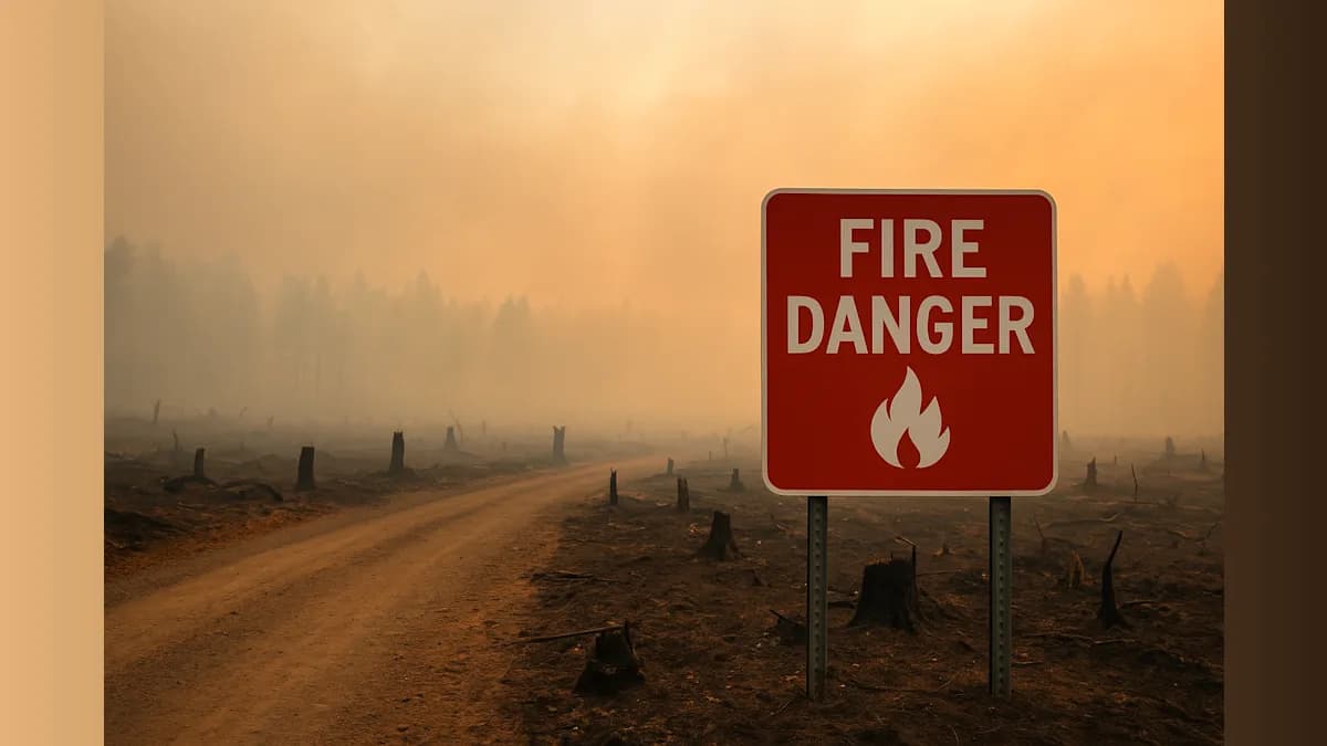
Our province is experiencing its worst wildfire season in recorded history, with flames consuming vast stretches of northern forest at an alarming pace.
More than 7,250 square kilometres of Ontario's forest have burned so far this year, eclipsing the previous record established in 2021. The preliminary figure will likely be adjusted once officials conduct detailed assessments of the affected areas, but the scale of destruction already marks this as an unprecedented season.
The devastation has accelerated dramatically over the past ten days, fueled by severe thunderstorms and an intense heat wave that gripped the Thunder Bay region. Temperatures climbed approximately 15 degrees above seasonal averages, creating ideal conditions for rapid fire spread.
A single massive blaze north of Thunder Bay accounts for much of the damage, having consumed 3,188 square kilometres on its own. The fires have forced more than a dozen communities—predominantly First Nation settlements—to evacuate, while smoke has blanketed skies across Ontario and neighboring regions.
Recent rainfall has provided some relief, slowing fire activity in parts of northern Ontario. However, experts caution that the respite may be temporary.
"There hasn't been enough rain in the northwestern part (of Ontario) to really knock things down for the long term," said Liam Buchart, a fire weather specialist with the Canadian Forest Service, told Peterborough.
Looking ahead to August, forecasts indicate much of northern Ontario will continue experiencing hotter and drier conditions than normal. While the extreme intensity of recent weeks may ease somewhat, Buchart warned that "a complete reprieve is not really in the forecast," speaking to Peterborough.
The worsening wildfire seasons reflect broader climate patterns driven by fossil fuel emissions, which are extending fire seasons and increasing their severity across Canada. Scientists have documented this trend in federal wildfire records maintained by the Canadian Interagency Forest Fire Centre, a non-profit coordinating firefighting resources nationwide. These records, dating back to 1972, rely partly on high-resolution satellite imagery.
The province's wildfire agency compiles preliminary burn estimates and shares them with the national centre, though thick smoke often complicates real-time assessments. Satellite analysis will eventually help officials identify any unburned pockets initially included in the damage estimates, potentially revising the final tally.
As our communities face this ongoing crisis, the danger level remains high across much of the north. Residents should stay informed about evacuation orders and air quality warnings as the season continues.